
Our Research Themes
Climate Mitigation & Adaptation
Nature is integral to every pathway towards net-zero. Our natural ecosystems are vital for the reduction of greenhouse gases in the atmosphere and as carbon sinks. Nature-based solutions can also help us respond appropriately to the effects of climate change and reduce our vulnerability to its impacts.

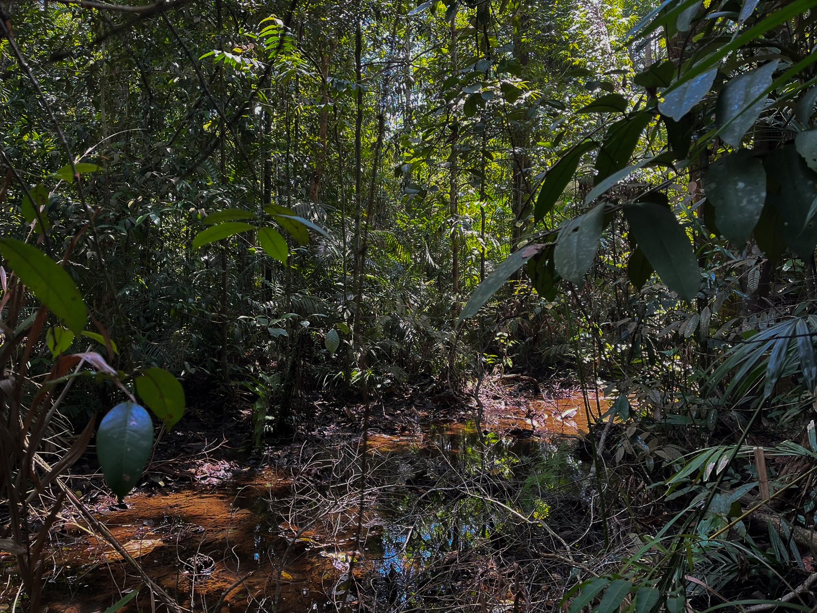
Biodiversity Conservation
Biodiversity loss and climate change are interconnected planetary crises. Slowing down the decline and disappearance of biodiversity will slow down climate change too. Southeast Asia is a biodiversity hotspot, and the region faces multiple challenges in preserving nature.

Quantitative Sustainability
Data and mathematical models play a crucial role today in the assessment of society. They can be applied to the field of environmental preservation and management as well and generate evidence-based decisions which promote sustainable development and outcomes.

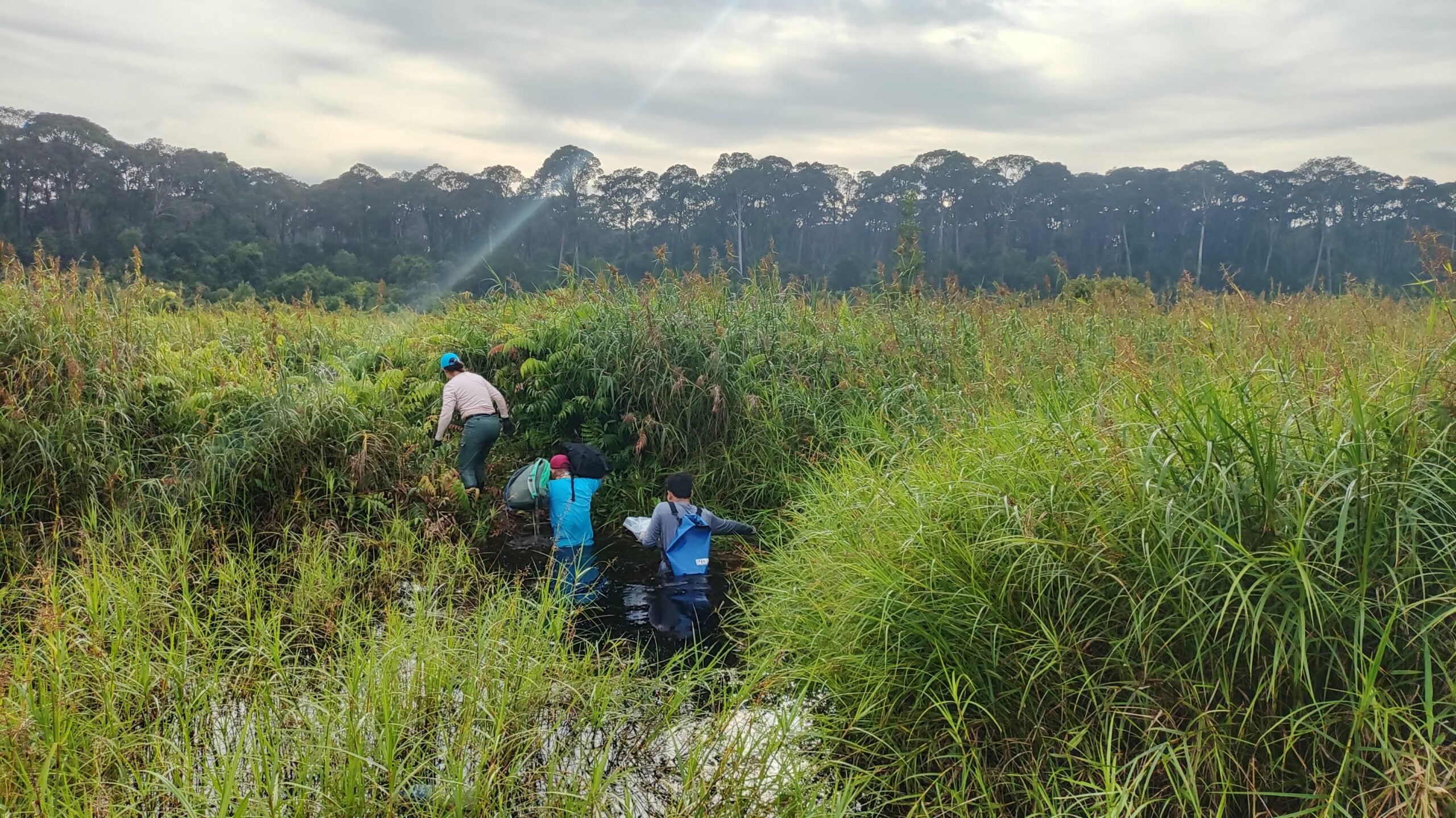
Geospatial Science
Remote sensing and geospatial technologies allow for environmental analysis of our natural ecosystems at the next level. Spaceborne, airborne and ground-based instruments assist in measurements that unlock a whole new level of understanding of our environment.
Applied Ecology and Biology
Ecological principles and biological concepts can be integrated with practical applications to address environmental issues such as climate change and biodiversity loss. Taking this science-based approach can lead to potential solutions that benefit both people and planet.

Finance, Policy & Governance
Finance, policy and governance are significant considerations when dealing with environmental problems like climate change and biodiversity loss. They can be instruments for implementing change and ensuring the long-term viability of solutions, plans and strategies.
Our Labs

AEC

PEEB
SpEARS

LAPIS
AEC
SpEARS
PEEB
